On this page
- Where is Labengki Island?
- Which regency and district is it in?
- Why do sources name different districts?
- Is Labengki one island or several?
- Which islands make up the Labengki group?
- Does it sit inside a protected area?
- How far is it from Kendari?
- Is Labengki the same place as Sombori or Morowali?
- What else do people ask about the location of Labengki?
- Which sources support this page?
- How do I reach the desk?
By Labengki Island Editorial Desk
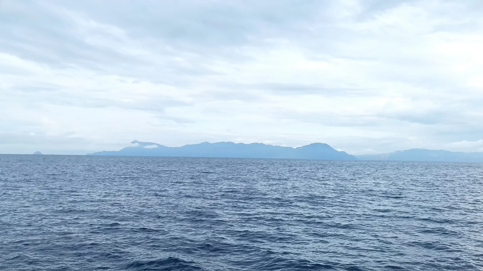
Where is Labengki Island? It lies in Lasolo Kepulauan district, North Konawe Regency, Southeast Sulawesi, north of Kendari, and it is actually an island group with two main islands. The Ministry of Tourism pins the tourism village at -3.482082, 122.483513. Some older reports say Lasolo district, the area it was later split from.
Where is Labengki Island?
Labengki lies off the mainland of Sulawesi, inside Indonesia's Southeast Sulawesi province and north of the provincial capital, Kendari. This table gives the names to look for and who supplies each one, working down from province to map pin.
| Level | Name | Stated by |
|---|---|---|
| Province | Southeast Sulawesi (Sulawesi Tenggara) | Ministry of Tourism Jadesta portal |
| Regency | North Konawe (Konawe Utara) | Jadesta; Kompas |
| District | Lasolo Kepulauan; older reports say Lasolo | Jadesta and Kompas; ANTARA for Lasolo |
| Village | Labengki tourism village | Jadesta |
| Map pin | -3.482082, 122.483513 | Jadesta map link |
| Protected area | Teluk Lasolo marine nature park | BKSDA Sultra blog; WWF Indonesia |
The pin marks the tourism village, not the whole group. That pin is a sound starting reference because it comes from the official listing, while place names shift between sources in ways the next sections explain.
Which regency and district is it in?
The Jadesta listing and Kompas agree: Labengki belongs to Lasolo Kepulauan district in North Konawe Regency. North Konawe is itself young as an administrative unit. Wikipedia records it being formed on 2 January 2007 by splitting northern districts off Konawe Regency, so older documents may say Konawe. You will see North Konawe in English and Konawe Utara in Indonesian, and they are the same regency.
This matters when you look something up. Government and press material about the islands is mostly in Indonesian, so try the Konawe Utara and Lasolo Kepulauan names as well as the English one. A seller in Kendari may simply say "Labengki" with no district at all, which is fine for booking a boat and less helpful if you need an official contact.
Why do sources name different districts?
Two district names circulate. A February 2023 ANTARA report places Labengki in Lasolo, while Jadesta and Kompas say Lasolo Kepulauan. Wikipedia's entry on North Konawe offers the likely explanation: it notes that the 2010 population of Lasolo Kepulauan was counted under Lasolo, the district it was later cut out of. Lasolo is the older usage and Lasolo Kepulauan the newer one, and both point to the same islands.
Spelling varies too. The conservation agency's blog writes Labengke in its account of a 1989 survey. Treat Labengki and Labengke as one place when you read historic material about these waters.
Is Labengki one island or several?
Several. Kompas calls Labengki an island group, and two main islands carry the name:
- Labengki Kecil is the small island with the fishing village, according to the travel account Voyage in Style.
- Labengki Besar is large and mountainous, with steep cliffs. A traveller's blog, The World Travel Guy, says the main sights are here while most residents live on Kecil.
Kecil means small and Besar means big in Indonesian, so "Little Labengki" in English travel writing means Labengki Kecil. When someone says they stayed "on Labengki", ask which island. The answer changes your boat time and what you can see from the door. Our page on Labengki Kecil and its Bajo village covers the inhabited side, and the Labengki Island overview explains what visitors come for.
Which islands make up the Labengki group?
No single list exists. Each of these two names the two main islands and then parts ways:
| Source | Islands named |
|---|---|
| Travelmarbles, 2018 travel feature | Labengki Besar, Labengki Kecil, Alnamira, Tukoh Kulay and Mauang, called the five largest |
| Jelajah Sultra, 2017, a Kendari trip seller | Labengki Kecil, Labengki Besar, Pulau Boe, Pulau Mapara and smaller separate islands |
Whether any of those extra names are the same islands under different spellings is not settled by either source, so ask a crew to point them out on a chart. The status of Labengki Besar also needs care. A 2023 article in the journal SALAM calls it an uninhabited island and protected forest, with the Bajo living on Labengki Kecil. The World Travel Guy, however, places Labengki Beach Huts on Besar, so "uninhabited" cannot mean nothing has been built. Ask the provincial conservation office if the forest status matters to your plans.
Does it sit inside a protected area?
Published accounts differ on how to word it. The BKSDA Sultra blog says the Teluk Lasolo marine nature park was designated by Decree 451/Kpts-II/1999 on 17 June 1999. WWF Indonesia confirms the decree and says the park covers Pulau Bahulu, Pulau Labengki and smaller islands. ANTARA quotes BKSDA Sultra saying Labengki falls within the park.
The Forestry Ministry's KSDAE office phrases it differently, calling Labengki a buffer village by the park. Ask the provincial conservation office if a project or permit depends on the boundary line.
The BKSDA blog also publishes the park bounds, 122°15'40" to 122°32'20" E and 3°23'45" to 3°44'51" S. By our arithmetic the village pin falls within that box, though a box is not a boundary and does not settle the question. For what the designation means on the water, read about Teluk Lasolo Nature Park.
How far is it from Kendari?
Close to due north, and a boat ride that sources measure very differently. Wikipedia places Kendari at about 3.99 S, 122.51 E, so the Jadesta pin sits about half a degree of latitude north with almost no change in longitude. In 2024 the Basarnas search and rescue office in Kendari put Labengki waters at about 38 nautical miles from its dock, the nearest published figure to a distance.
Jadesta says Labengki is reachable only by sea, about two hours from the Kendari dock, two hours from the regency capital and one hour from the district capital. Other sources give longer times from other harbours. Our page on Kendari to Labengki lays them out by source, and it is the one to read before you book a flight.
Is Labengki the same place as Sombori or Morowali?
No, though the two get mixed up in travel writing. North Konawe shares a border with Morowali in Central Sulawesi, as WWF Indonesia points out. Labengki stays on the Southeast Sulawesi side. Operator Asik Travel places Sombori about 20 km to the north, across that provincial border, and many published trips combine the two, which is how the provinces get blurred. The jonnymelon.com travel blog describes Sombori as off the coast of Southeast Sulawesi, while Central Sulawesi's tourism office lists it under Morowali.
Morowali holds the neighbouring group, not Labengki. Kendari is the city most boats serve, a gateway with no administrative claim on the islands. For the difference in what you see at each, read Labengki vs Sombori.
What else do people ask about the location of Labengki?
Which province is Labengki in?
Southeast Sulawesi, known in Indonesian as Sulawesi Tenggara. The Jadesta portal of the Ministry of Tourism lists the tourism village there. Its neighbour Sombori is on the Central Sulawesi side of the provincial border.
Which regency is Labengki in?
North Konawe, written Konawe Utara in Indonesian. Wikipedia records that regency being formed on 2 January 2007, so older material may refer to Konawe instead.
What are the coordinates of Labengki Island?
The Jadesta listing pins the tourism village at latitude -3.482082, longitude 122.483513. Use it to find the village, since it is not a centre point for all the islands.
Is Labengki in Kendari?
No. Kendari is the provincial capital and the usual gateway, but Labengki belongs to North Konawe Regency. Asik Travel says most operators leave from Tanasa, about 40 minutes by road from Kendari.
Is Labengki in Morowali?
No. Morowali is in Central Sulawesi and contains the Sombori area. Labengki is in North Konawe, Southeast Sulawesi, which WWF Indonesia notes borders Morowali.
Which sources support this page?
- Ministry of Tourism Jadesta portal: Labengki tourism village
- Kompas Travel: six attractions of Labengki (2023)
- ANTARA Sultra: Labengki, miniature Raja Ampat (2023)
- Wikipedia: North Konawe Regency
- WWF Indonesia: between mining and conservation
- Voyage in Style: Labengki and Sombori islands
- The World Travel Guy: Labengki Island
- BKSDA Sultra blog: Teluk Lasolo marine nature park
- Forestry Ministry KSDAE: community work in Labengki village
- Wikipedia: Kendari
- ANTARA Sultra: Basarnas Kendari passenger evacuation near Labengki (2024)
- Asik Travel: Labengki and Sombori guide
- jonnymelon.com travel blog: Pulau Sombori
- Central Sulawesi tourism office: Sombori islands listing
- Travelmarbles: Labengki Island feature (2018)
- Jelajah Sultra: five differences between Labengki and Sombori (2017)
- SALAM journal: tourism villages in the Labengki islands (2023)
How do I reach the desk?
Spotted a wrong name or a shifted pin? Tell the desk on WhatsApp +62 811-3941-4563 or at bd@juaraholding.com, with the source if you have one. The same contacts handle trip questions, and since those can turn into a paid booking, the disclaimer explains our interest.
Send the desk your dates, group size, and how you plan to reach Kendari. The desk replies in writing.
Ask the desk on WhatsApp bd@juaraholding.com