On this page
- What is the Teluk Lasolo Nature Park?
- When was it designated and by whom?
- How large is it?
- What lives in it?
- What activities are listed?
- How do you reach the park?
- What does a buffer village mean for visitors?
- What else do readers ask about Teluk Lasolo?
- Which sources support this page?
- How do I reach the desk?
By Labengki Island Editorial Desk
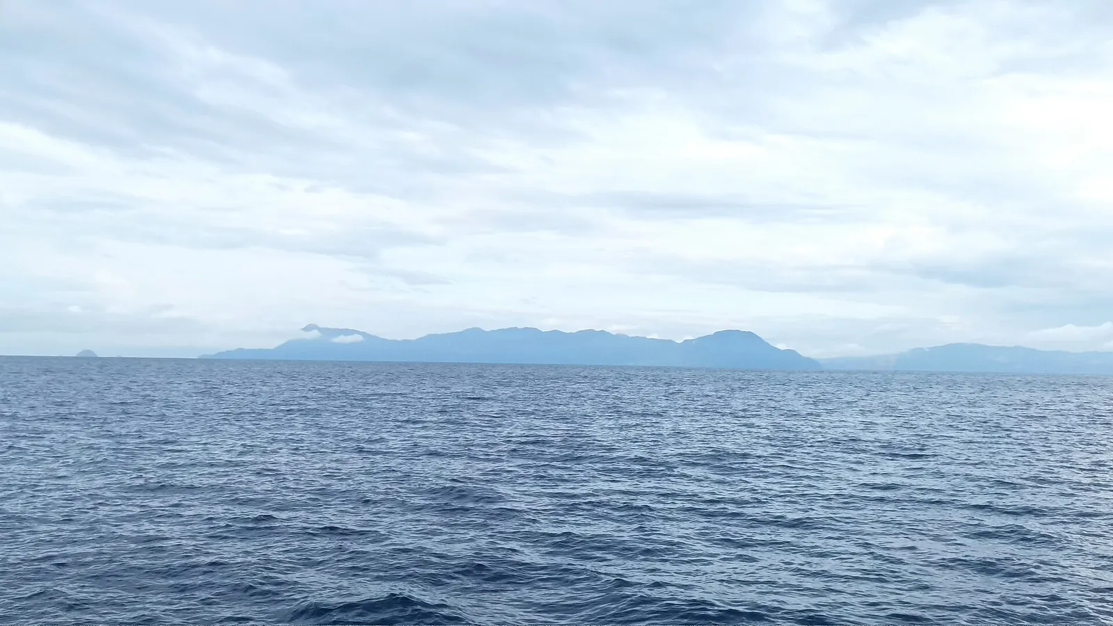
Teluk Lasolo Nature Park is a marine nature park in Southeast Sulawesi, designated by Decree 451/Kpts-II/1999 on 17 June 1999 and covering about 81,800 hectares, according to the BKSDA Sultra conservation office blog. WWF Indonesia says it takes in Pulau Bahulu, Pulau Labengki and smaller islands. Neither calls it a national park.
What is the Teluk Lasolo Nature Park?
It is a protected marine area with a tourism designation, and both its names and the question of who sits inside it cause confusion. In English you may see Teluk Lasolo marine nature park. In Indonesian documents you will see TWA Teluk Lasolo, where TWA stands for taman wisata alam, a nature tourism park. Both point to the same area. "Labengki national park" is not a title these agencies use, so drop it when you ask them anything. For the islands themselves, see our overview of Labengki.
| Name you may see | What it refers to | Who uses it |
|---|---|---|
| TWA Teluk Lasolo, marine nature park | The protected area | BKSDA Sultra, KSDAE, WWF Indonesia |
| Lasolo | A district, used for road directions and in older addresses | BKSDA Sultra, ANTARA |
| Lasolo Kepulauan | The district where Labengki village is listed | Jadesta |
| Labengke | A spelling of Labengki in the older survey description | BKSDA Sultra |
A park name and a district name are different things. A sentence such as "Labengki is in Lasolo" may be an address, while "Labengki is in Teluk Lasolo" is a statement about conservation status. On whether Labengki counts as inside or beside the park, the agencies themselves do not use one phrase, as explained in the section on buffer villages below.
When was it designated and by whom?
The BKSDA Sultra blog is the fullest account of the park's origin, and it gives this sequence:
- 1989: a survey around Bahulu, Labengke and Tanjung Taipa finds high potential for reef, protected species and ornamental fish.
- 1995: those results lead to a proposal.
- 17 June 1999: designation by Decree 451/Kpts-II/1999.
WWF Indonesia confirms the decree and the area. The park is also older than the regency it now sits in: Wikipedia records North Konawe being formed on 2 January 2007 by splitting northern districts off Konawe Regency, so documents from before then will not use the North Konawe name. On who is responsible today, BKSDA Sultra publishes the park's description, and the KSDAE office of the Forestry Ministry writes about community work beside it. These are the agencies to ask.
How large is it?
Two figures are in circulation. BKSDA Sultra gives about 81,800 hectares, and WWF Indonesia's blog confirms that area. A 2016 WWF Indonesia preliminary report says the park is more than 90 percent water, about 74,100 hectares. Since 74,100 is a little over 90 percent of 81,800, the second figure reads naturally as the water share. That is our reading of the arithmetic, and neither source spells it out. Use 81,800 for the whole park and attribute it.
BKSDA Sultra gives the bounds as 122°15'40" to 122°32'20" E and 3°23'45" to 3°44'51" S, and says the waters reach about 15 metres at the deepest. Treat that depth with care. It belongs to an older description, while WWF's report notes wall-type reef in the same park. Neither is a dive plan, and the Labengki diving page deals with what divers should ask.
What lives in it?
The published lists are a record of what the park contains, and they make no promise about your day in the water. BKSDA Sultra lists hawksbill and green turtles, the white-bellied sea eagle, fluted and boring clams, Hippopus hippopus, and corals such as Acropora. WWF Indonesia's report describes mainly fringing and barrier reefs, along with wall-type reef, fairly dense cover, large sea fans and lionfish. The same report found fish biomass and abundance better inside conservation areas than outside, which is a reason the designation matters even to someone who only wants to snorkel. Reef health varies by place, and the conservation site yannbigant.com describes relatively healthy, protected reefs around Nirwana resort, with moorings placed near the main beach to spare the reef from anchors. For more, read Labengki reef condition.
Clams have their own legal thread. Mongabay reports a provincial clam conservation area set up in 2018, and a ministerial rule of the same year that protects only two Hippopus species. Naturevolution says all giant clam species are officially protected in Indonesia. Those two statements conflict. The practical answer does not depend on the outcome: leave every clam alone. The giant clams page has the wider story.
What activities are listed?
BKSDA Sultra lists sunbathing, snorkelling, diving and boating. That is a description of what the park is suited to. It is not a permit, a service or a statement that someone is running those activities on a given day. Three things visitors commonly want to know have no published answer:
- Zoning. No zone map or visitor zoning rule appears, so this page describes none.
- Park fees. No fee set by regulation is cited. If a provider charges a conservation or entry line, ask what it is and who collects it, and have it written down.
- Drones. The only summary available is one operator's, labengkisombori.com, which points to national rules and speaks for its own sites. It is discussed on the Love Bay page.
How do you reach the park?
BKSDA Sultra says Teluk Lasolo can be reached by road to Lasolo district, about 105 km and three and a half hours, or by sea from Kendari in about four hours. Those figures describe the park as a whole and are not directions to Labengki village. Crossings to the islands have their own spread of reports, set out on the Kendari to Labengki page. Operator Asik Travel places Sombori across the provincial border in Morowali, so the park's status should not be assumed to apply there; the Sombori Islands page covers that side.
What does a buffer village mean for visitors?
KSDAE calls Labengki a buffer village by the park and says a 22-member forest farmers group, formed on 28 April 2017, provides homestays, guides, souvenirs and fish products. ANTARA quotes BKSDA Sultra saying Labengki falls within the park and reports that the agency funded the renovation of ten village homes as homestays. WWF Indonesia also says the park covers Pulau Labengki.
So one agency's wording says "by" and another's says "within". Published accounts leave it there, and so does this guide. For planning, assume your boat day and your snorkelling are in protected water and act accordingly. For spending, this framing helps you ask a useful question of any host or guide: are you part of the village group? The answer tells you how your stay connects to the arrangement agencies describe. The Labengki Kecil village page has more on life there.
What else do readers ask about Teluk Lasolo?
What is Teluk Lasolo?
It is a marine nature park in Southeast Sulawesi, written TWA Teluk Lasolo in Indonesian. BKSDA Sultra and WWF Indonesia describe it as covering waters, reefs and islands including Labengki and Bahulu.
Is Labengki a protected area?
Published accounts differ. ANTARA quotes BKSDA Sultra saying within the park, WWF Indonesia says the park covers Pulau Labengki, and KSDAE calls it a buffer village by the park.
Is Labengki a national park?
The designation published by BKSDA Sultra is a marine nature park, so ask agencies about the Teluk Lasolo park rather than a national park.
Is Labengki inside a marine park?
The wording varies. BKSDA Sultra, through ANTARA, says within, and the KSDAE office says a buffer village by the park. Treat the surrounding water as protected.
How big is Teluk Lasolo Nature Park?
BKSDA Sultra gives about 81,800 hectares. A 2016 WWF Indonesia report gives about 74,100 hectares and more than 90 percent water, which reads as the water share of the same park.
When was Teluk Lasolo designated?
On 17 June 1999, by Decree 451/Kpts-II/1999, according to BKSDA Sultra. Its account traces the idea to a 1989 survey and a 1995 proposal.
Which sources support this page?
- BKSDA Sultra blog: TWA Teluk Lasolo
- KSDAE, Forestry Ministry: Labengki buffer village
- WWF Indonesia: mining and conservation
- WWF Indonesia: 2016 Southeast Sulawesi expedition preliminary findings (PDF)
- ANTARA: Labengki report quoting BKSDA Sultra
- Mongabay: nickel pollution and giant clams
- Naturevolution: giant clam conservation
- yannbigant.com: marine conservation in Sulawesi
- labengkisombori.com: Labengki Island guide (operator)
- Asik Travel: Labengki and Sombori guide (operator)
- Wikipedia: North Konawe Regency
- Ministry of Tourism Jadesta portal: Labengki tourism village
How do I reach the desk?
Rules change, and the agencies named above are the right place for anything official. For trip questions that touch the park, the desk is on WhatsApp +62 811-3941-4563 and at bd@juaraholding.com. It will answer what it can, and it does not speak for any agency.
Send the desk your dates, group size, and how you plan to reach Kendari. The desk replies in writing.
Ask the desk on WhatsApp bd@juaraholding.com